
Google Maps’ Street View feature lets you take a virtual walk through cities, landmarks, businesses, and tourist spots around the globe-from the comfort of your device.
Whether you’re curious about a restaurant’s exterior, want to preview a travel destination, or simply enjoy exploring famous places, Street View offers a detailed, 360-degree visual experience.
What is StreetView?
Google Street View is a fascinating feature that allows you to explore locations around the world through 360-degree panoramic imagery.
But did you know it all started with a simple idea from Google’s co-founder, Larry Page, in 2004?
He wondered, “What if we could create a map of the entire world using 360-degree views?”
From that initial thought, Google is on an ambitious project to capture comprehensive street-level imagery globally. Street View was first launched to the public in 2007, covering just five U.S. cities. But over time, Google has continuously expanded Street View to millions of panoramic photos spanning countless places worldwide, including some very remote and challenging environments.
Street View provides an incredibly useful way to virtually visit landmarks, check out local businesses, tour natural wonders, and more through immersive 360-degree photos. Google obtains this Street View imagery in two main ways – via special camera-equipped vehicles driving around cities, as well as user-submitted photos from volunteers around the globe.
In addition to the iconic Google Street View cars, the company has gotten creative with other methods of capturing 360 photos in unique locations. This includes using trikes to access narrow paths, snowmobiles for mountainous areas, underwater cameras to map the ocean floors, and even camels to photograph desert landscapes!
By combining all these crowdsourced and vehicle-captured 360 images, Google weaves together an incredibly rich virtual experience that anyone can explore right from Google Maps. It’s an astounding culmination of that original vision to map the world in 360 degrees.
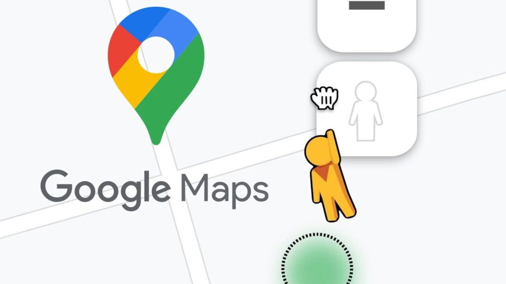
How to use StreetView
Google Maps is your gateway to accessing Street View, and you can enhance your experience by integrating it with Google Earth for even more exciting features.
- With Maps open, choose a location you want to use Street View to explore.
- By tapping landmarks on the map, you can see information and find images at the bottom of the screen.
- On the left side, you can see the Street View icon. Drop it on the location you wish to view.
- Rotate the screen, using your fingers, to observe the surroundings.
- Tap the icon in the lower right corner to see the map.
- Tap any blue line you want to go to to move through Street View.
How to Use Street View on Mobile (Android & iOS)
- Open the Google Maps app.
- Search for a location or tap and hold on a spot to drop a pin.
- Tap the image thumbnail (typically in the bottom-left) to enter Street View if it’s available.
- Swipe to look around and tap the screen to move along streets.
Tips for Google Maps Street View
- Blue lines on the map show where Street View is available.
- Use Street View to check parking spots, entrances, or walking paths.
- Look for indoor views of popular locations like restaurants or museums (not all places have them).
- On mobile, tap the compass to match your view with your phone’s orientation.
Street View turns Google Maps into more than just a navigation tool-it becomes a window to the world. Use it to plan smarter, explore more, or just take a digital vacation.


